

Discovering Ontario · Drawing 01 of 32
Point Pelee’s Marsh
Point Pelee
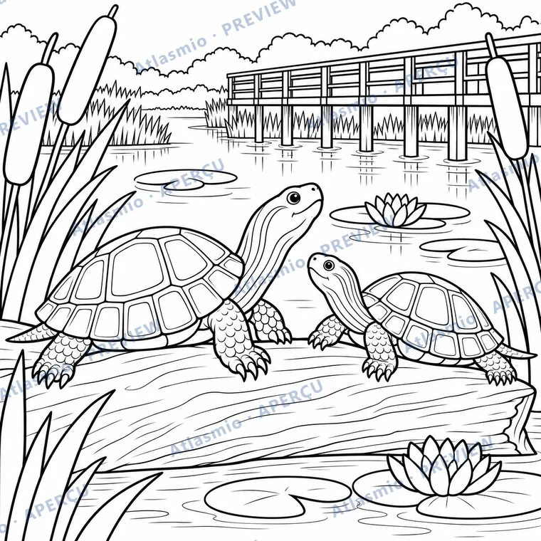
Turtles rest on a log in the marsh. Cattails grow beside the water. A boardwalk lets visitors observe this little world.
Did you know?
Point Pelee is the southernmost point of mainland Canada.
Look together
Which shapes can you find on the shells?
An idea to try
Draw a shell using large polygons, then choose a colour for each one.
For the adult reading along
A little more to discover
The Marsh Boardwalk crosses a wetland in Point Pelee National Park. Parks Canada identifies it as a place to observe turtles and birds. The drawing brings together features of this habitat; it does not identify a particular turtle species. We can watch animals without touching them.
Sources and illustration notes (3)
Simplified interpretation for colouring. Settings and people may be combined or imagined. Details, distances and proportions are not a measured record of the place.
These links lead to other websites. Explore them with an adult. References identify the institution and the related lesson; some linked pages are in French.
- Parks Canada: Point Pelee National ParkSouthernmost point of the Canadian mainland.
- Parks Canada: Hiking at Point PeleeMarsh Boardwalk: cattail mats, turtles and lily pads.
- Parks Canada: Photography at Point PeleeThe Marsh Boardwalk is a good place to watch turtles and birds.
Page prepared on October 2, 2026. Illustrations are simplified for colouring.
This drawing is from the book My Ontario to Colour
Tax calculated at checkout. Terms of sale